|
| ISLANDS A-Z | CRETE | CYCLADES | DODECANESE | EASTERN AEGEAN |
| IONIAN | SARONIC | SPORADES | MAINLAND | ABOUT US |
Hiking on Tinos |
|
|
Tinos is, with its beautiful scenery and lovely villages, an ideal hiking island. And like many other Cycladic islands, Tinos is best explored on foot. Here are a variety of wonderful hiking trails, especially in the central parts of the island where the most interesting villages are situated.
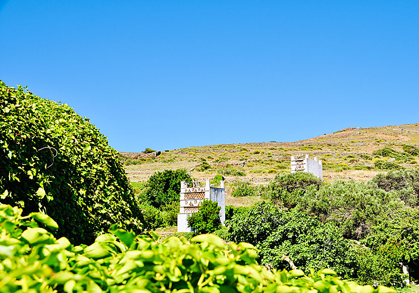
You will see many dovecotes when you hike.
If you are going to hike I recommend Anavasi´s blue map (1:27,000), it describes several hikes on Tinos, both easy and difficult ones. Terrain maps, also called Skai maps, is another Greek cartographic company specialized in hiking maps. They have a map of Tinos with a scale of 1:30,000. The map describes nine hiking routes and can be purchased on Tinos, just as Anavasi´s map.
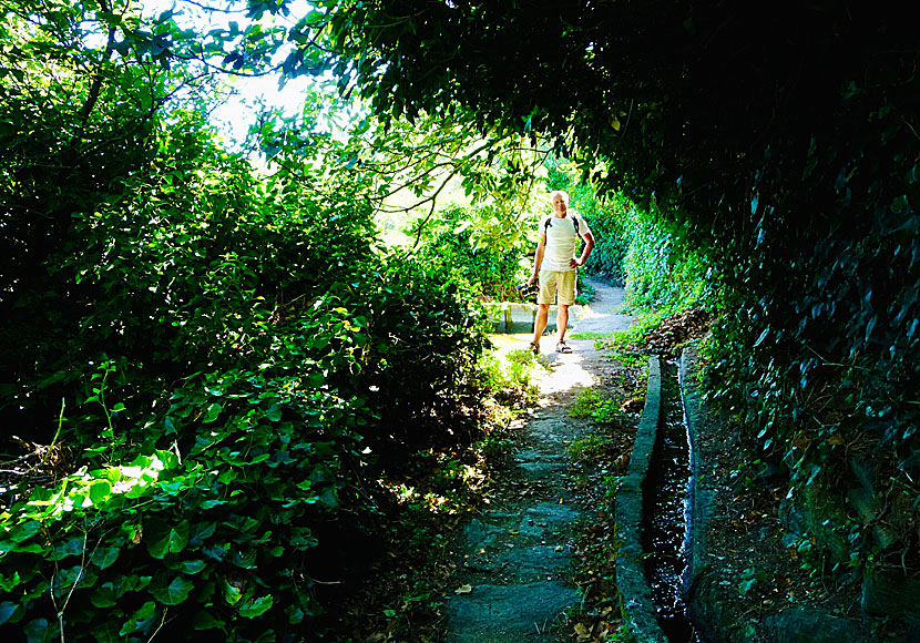
Hiking outside Tarabados.
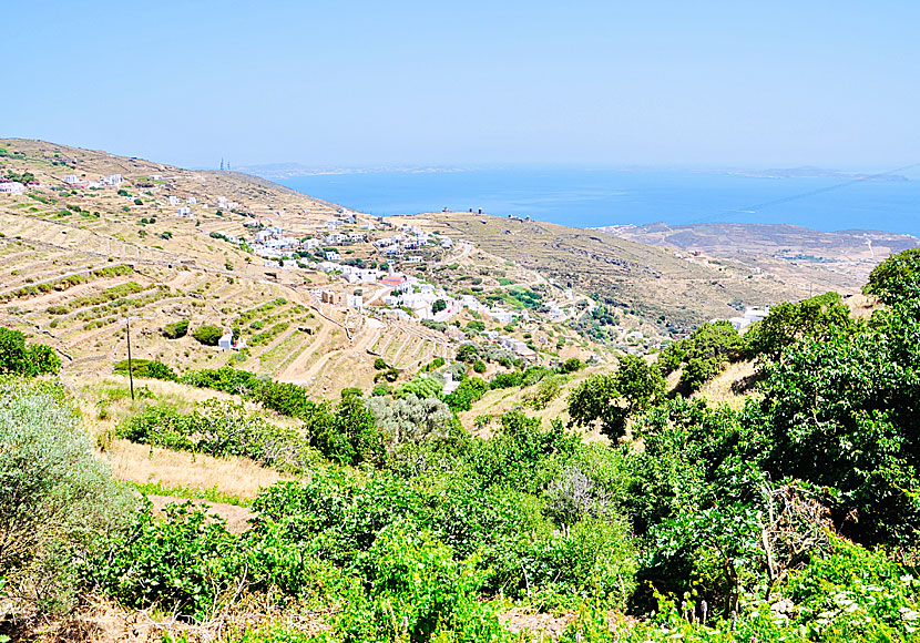
You are treated to incredibly beautiful views when you hike on Tinos. |
|
I can also recommend the hiking book Amorgos, Naxos, Paros and the Eastern & Northern Cyclades by Dieter Graf. The book describes five hikes on Tinos. The book could possibly be available for purchase on Tinos, otherwise you will find it on larger islands, or buy it on internet.
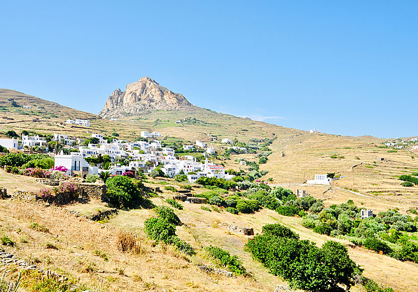 Some of the best hiking trails start from Mount Exobourgo.
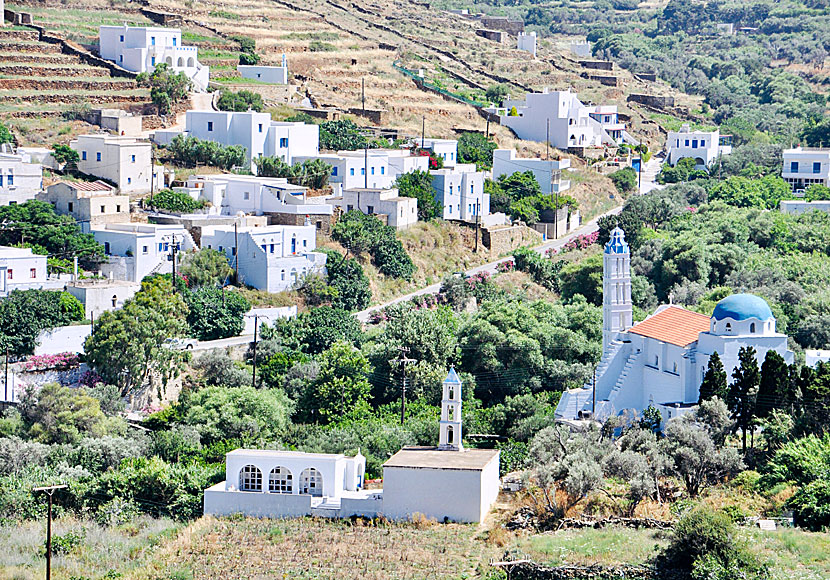
Tinos offers a very beautiful landscape, and it is rarely far to a beautiful village. |
READ MORE ABOUT TINOS |
||||||
| About Tinos | Getting here | Getting around | Villages | Beaches | Sights | Hotels |
HOME |
ABOUT US |
SEARCH |
BOOK HOTEL |
GREEK ISLANDS |
SWEDISH
|
|
© 2007-2026 | Janne Eklund | Kalispera and Kalimera. |