|
| ISLANDS A-Z | CRETE | CYCLADES | DODECANESE | EASTERN AEGEAN |
| IONIAN | SARONIC | SPORADES | MAINLAND | ABOUT US |
Hiking on Agathonissi |
|
|
I have never tried hiking on Agathonissi, at least not a real hike. Sure, I've walked a lot, but only in the eastern parts of the island. Western and northern parts of Agathonissi is unknown to me, at least from a hiking point of view. I guess it's an excellent hiking island, otherwise would Terrain maps not have published a hiking map of the island.
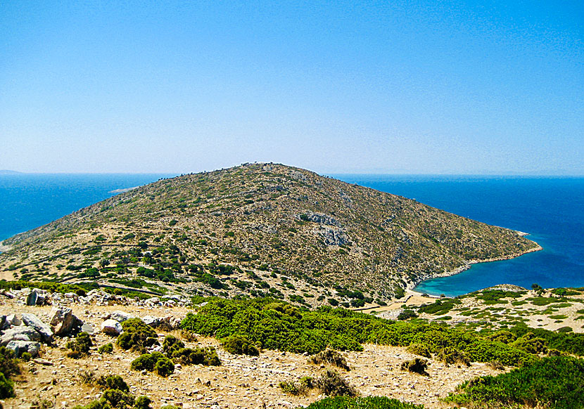
Agathonissi is a very small island and the distances are short.
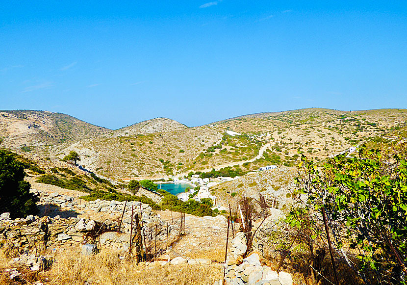
Katholiko is a nice destination for a hike.
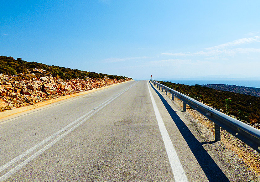
The new road between the port and Katholiko is a bit big for my taste.
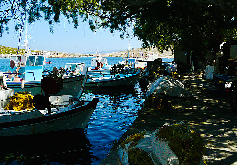
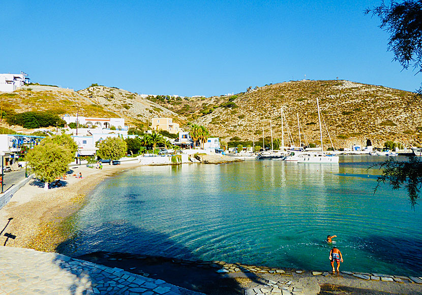
I think most people stay in the port where all the facilities are, and where there is a good beach. From the port it is also close to Spilia beach. Others who are a little more adventurous, and have strong legs, walk up the killer slopes to the villages of Megalo Chorio and Mikro Chorio.
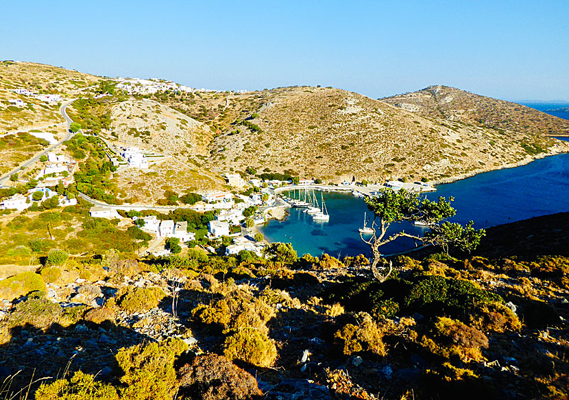
The port and the village of Megalo Chorio seen from the village of Mikro Chorio. |
|
The port and the village of Mikro Chorio seen from the village of Megalo Chorio.
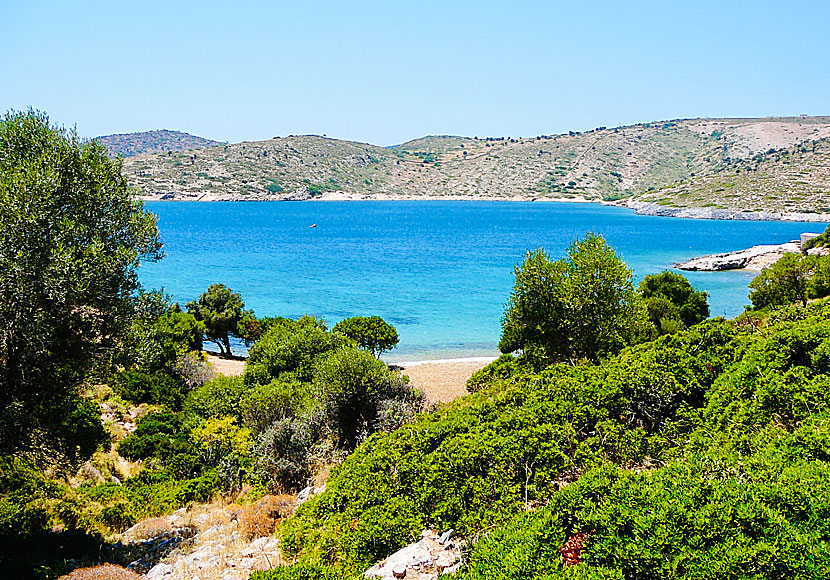
If you hike you will find small solitary beaches where you can be alone.
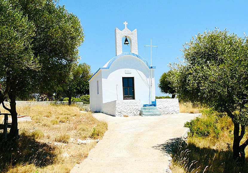
You will also hike past the occasional church. |
|
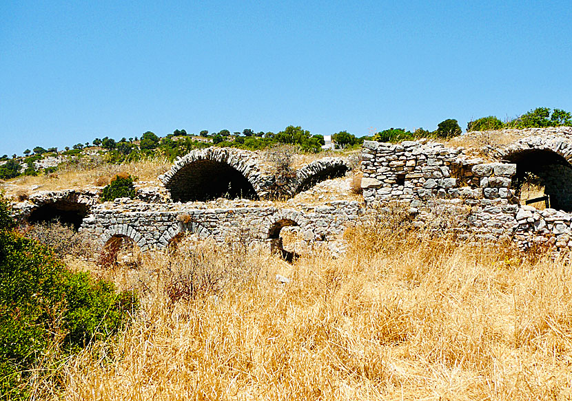
If you walk to the fishing port of Katholiko, you can continue to the archaeological excavations of Kastraki. Agathonissi's main attraction is located on the eastern side of the island and consists of a complex of large vaulted structures dating back to the 11th century AD. It is believed to be a Byzantine settlement and that the houses were used to store food. The settlement is called Tholoi and is a nice hiking destination.
Archaeological Site of Tragaia in Kastraki west of Katholiko.
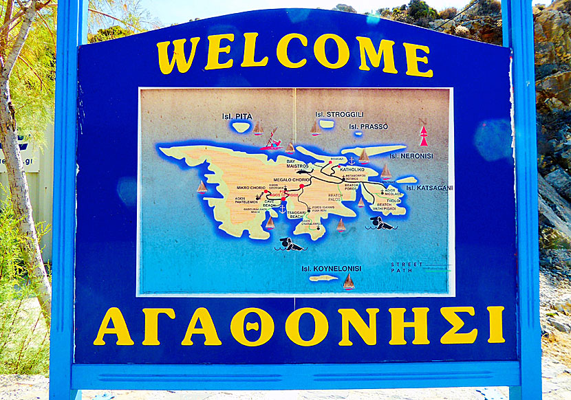
The only hiking map of Agathonissi is published by the Greek cartographic company Terrain Maps. The scale is 1:20,000 and might be possible to buy on Agathonissi. The map describes the best hiking routs on the island. The map also includes Arki and Lipsi.
Ruins of the Byzantine settlement of Tholoi on eastern Agathonissi.
I can also recommend the hiking book Samos, Patmos, Ikaria, Kalymnos & Six Neighbouring Islands by Dieter Graf. The book describes two hikes on Agathonissi. The book could possibly be available for purchase on Agathonissi, otherwise you will find it on the larger islands, or buy it on internet.
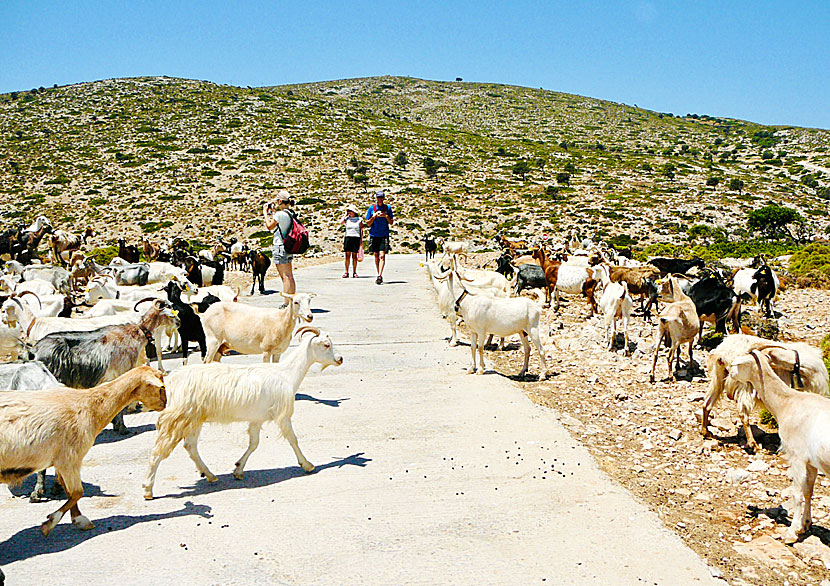
Goat in the oven is a specialty at the taverns, and it is noticeable when you are out hiking. :-) |
WHAT YOU MUST NOT MISS WHEN YOU HIKE ON AGATHONISSI
|
READ MORE ABOUT AGATHONISSI |
||||||
| About Agathonissi | Getting here | Getting around | Villages | Beaches | Sights | Hotels |
HOME |
ABOUT US |
SEARCH |
BOOK HOTEL |
GREEK ISLANDS |
SWEDISH
|
|
© 2007-2026 | Janne Eklund | Kalispera and Kalimera. |